Rain
Data
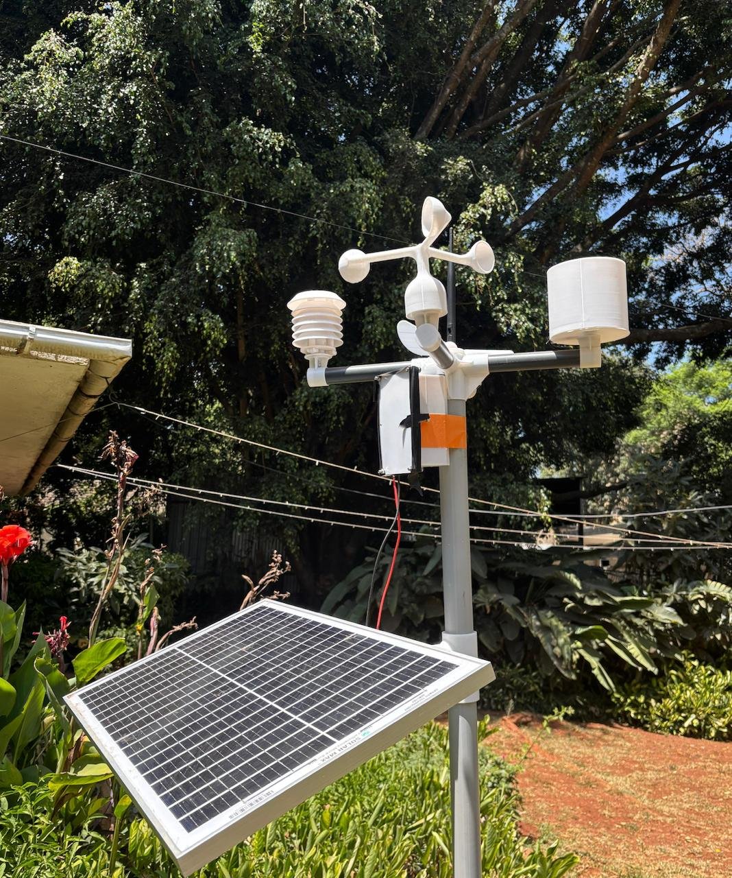
Tipping bucket rain gauges with 0.2 mm resolution tracking total rainfall, storm intensity and rain rate — so every drop on your farm is measured and recorded.
Live rainfall — Station WS-017, Nakuru
3.2 mm
Today
18.4 mm
This week
67 mm
This month
Why it matters
Every millimetre
of rain counts
Rainfall records at field level are 10x more accurate than the nearest public weather station. Know exactly how much rain fell — and where — to make smarter decisions.
Irrigation credit
Know exactly how much rain fell before irrigating. Avoid double-watering after heavy rainfall events — reduce water cost and prevent waterlogging stress.
Crop insurance documentation
Many insurance policies require proof of drought or excess rainfall. Continuous, time-stamped local rainfall records are accepted by insurers as ground-truth evidence.
Seasonal pattern analysis
Build a precise rainfall calendar for your exact location. Identify long and short rain arrival dates, dry spells and distribution — improving planting decisions year on year.
Waterlogging alerts
High rain rate thresholds trigger instant SMS alerts. Get warning before vulnerable crops, greenhouses or low-lying areas reach waterlogging conditions.
Post-rain spray timing
Know when rainfall has stopped and residual moisture has dried. Pair rain data with humidity readings to schedule fungicide applications at the right moment.
Water harvesting optimisation
Use rain rate and storm duration data to size dam inflows, calibrate overflow spillways and plan rainwater harvesting infrastructure accurately.
Technical specifications
Rain gauge specifications
Applications
Who uses rain data
01
Rainfed smallholder farming
Extension workers covering rainfed farming cooperatives use shared rain gauges to track seasonal distribution and advise on planting dates and crop variety selection.
02
Irrigation scheme management
Scheme managers reduce supply costs by crediting rainfall into irrigation schedules — only releasing water when field rain gauges confirm insufficient natural rainfall.
03
Index-based insurance providers
Insurers use LoRaWAN rain gauges as low-cost ground-truth reference stations to validate satellite-derived rainfall indices used for index insurance payouts.
04
Water harvesting projects
NGOs and government catchment projects use rainfall data to monitor runoff generation, assess dam filling rates and evaluate water harvesting structure performance.
Start measuring every drop of rain
Get in touch for a quote, demo, or site visit. Our team covers all of Kenya.
Get in touch